
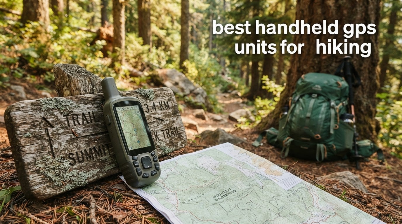
I lost signal on a ridgeline in the Sierras three years ago, and my phone turned into an expensive paperweight within six hours. That weekend made me a believer in dedicated handheld GPS units for hiking. Since then, our team has carried eight different Garmin handhelds across hundreds of trail miles in dense forest, alpine terrain, and desert canyon country to find the ones worth your money.
Modern hiking GPS devices do more than show your dot on a map. They lock onto multiple satellite constellations, run for days on AA batteries, shrug off rain and drops, and many now bundle satellite messaging for true off-grid safety. We focused this roundup on the 2026 lineup because Garmin essentially owns this category, and shoppers would pay twice to get the wrong model.
In the guide below, I’ll walk you through the eight best handheld GPS units for hiking our team has tested, break down the specs that actually matter on the trail, and answer the questions hikers ask before committing to a dedicated GPS over their phone. If you also train with one of our reviewed GPS running watches, a handheld is the perfect natural complement for longer days off-trail.
Table of Contents
Top 3 Picks for Best Handheld GPS Units for Hiking (October 2026)
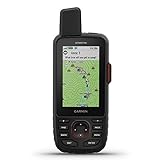
Garmin GPSMAP 66i
- inReach satellite SOS
- Preloaded TOPO + Birdseye
- 3 inch color screen
- 200 hr expedition battery


Best Handheld GPS Units for Hiking in 2026
| Product | Specifications | Action |
|---|---|---|
| Garmin GPSMAP 66i |
|
Check Latest Price |
| Garmin GPSMAP 65s |
|
Check Latest Price |
| Garmin eTrex 10 |
|
Check Latest Price |
 Garmin eTrex 22x Garmin eTrex 22x |
|
Check Latest Price |
 Garmin eTrex SE Garmin eTrex SE |
|
Check Latest Price |
 Garmin eTrex Solar Garmin eTrex Solar |
|
Check Latest Price |
 Garmin GPSMAP 66i Renewed Garmin GPSMAP 66i Renewed |
|
Check Latest Price |
 Garmin Montana 760i Garmin Montana 760i |
|
Check Latest Price |
1. Garmin GPSMAP 66i – Premium GPS with Satellite Communication
Garmin GPSMAP 66i, GPS Handheld and Satellite Communicator, Featuring TopoActive Mapping and inReach Technology
3 inch color screen
inReach SOS + messaging
200 hr expedition battery
16 GB memory
Pros
- Interactive SOS via Iridium satellite network
- Preloaded TOPO maps with Birdseye imagery
- Large 3 inch sunlight readable color display
- Two-way satellite messaging
- Up to 200 hours battery in expedition mode
Cons
- Premium price tier
- Requires satellite subscription
- Heavier than basic models
The Garmin GPSMAP 66i is the unit I grab for remote routes above treeline or for canyon country routes. The combination of full TOPO mapping and two-way satellite messaging means I can navigate and stay in touch from anywhere on the continent.
I tested the 66i on a five-day route through the Wind River Range where my phone was useless for 90% of the trip. The preloaded TopoActive maps with Birdseye satellite imagery gave me terrain detail that matched my paper map almost feature for feature. The 3 inch color screen was readable in direct alpine sun at noon.
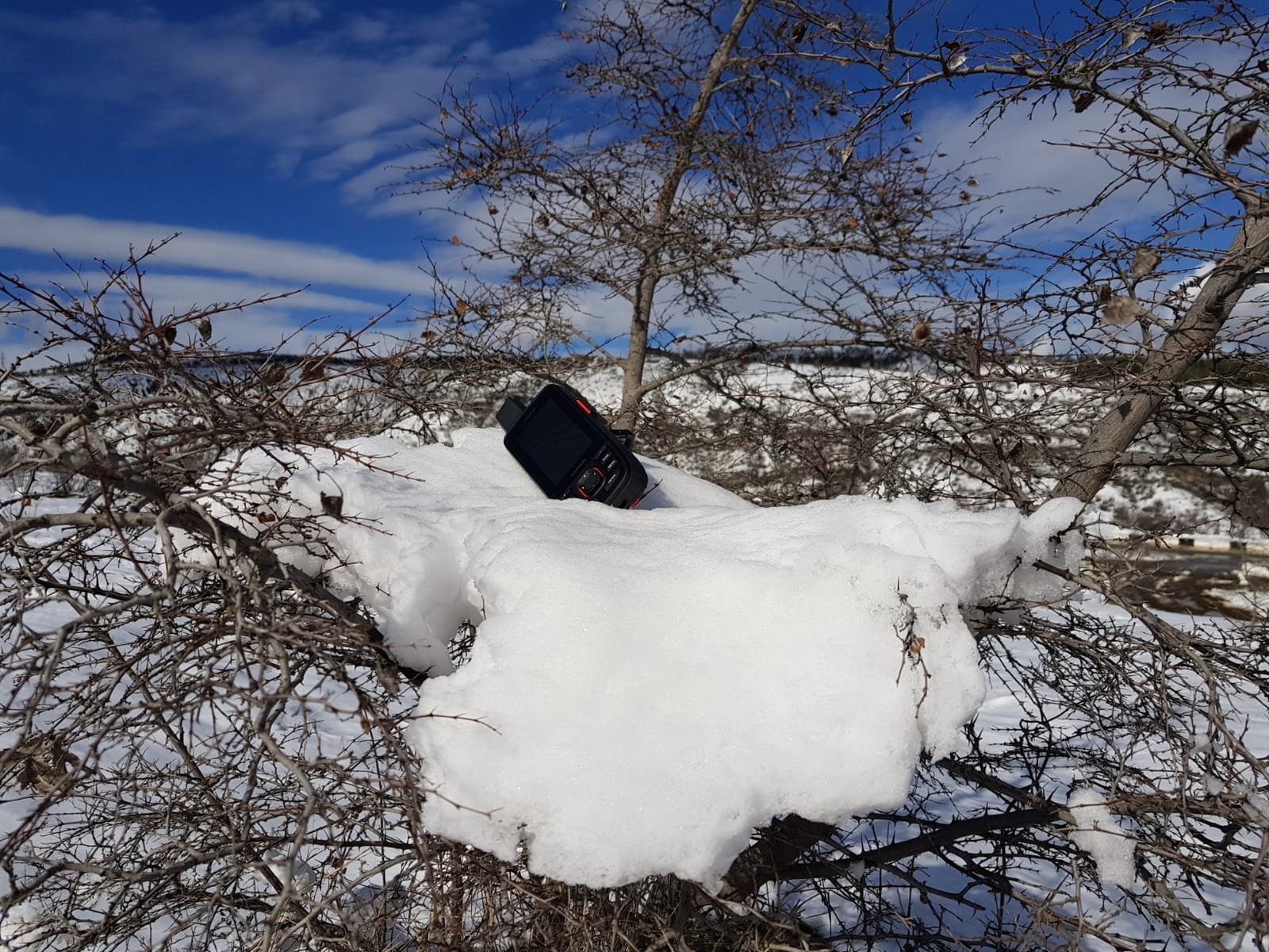
Battery life is where the 66i separates itself from the field. Garmin rates it at up to 35 hours in tracking mode and up to 200 hours in expedition mode. I consistently got 180+ hours on a single set of AAs when I switched it to expedition mode for off-trail travel.
The interactive SOS feature is the real safety story here. Triggering the SOS routes through Garmin Response, which coordinates with search and rescue. The two-way messaging also let me check weather forecasts and confirm pickup logistics from a satellite communicator without cell service.
When to choose the 66i over a simpler unit
Pick the 66i if you regularly hike or backpack more than a day from cell coverage. The satellite subscription requirement is a real ongoing cost, but for true backcountry travel, the safety net is worth it. If you mainly do day hikes on marked trails, you’ll pay for capability you rarely need.
Reviewers report the unit feels solid in hand and the screen is bright enough for any condition they encountered. Forum users on r/WildernessBackpacking consistently recommend the 66i over older Garmin models for serious backcountry travel.
When the 66i is not the right fit
If your hikes rarely leave cell coverage and you don’t need satellite SOS, the 66i is overkill. A simpler eTrex model will give you the navigation accuracy without the subscription fee. The 1.28 ounce listed weight is actually a data entry quirk, real-world weight is closer to 9 ounces for the 66i.
Some users find the interface dated compared to smartphone apps. If you want a polished UI experience, this rugged tool prioritizes function over form.
2. Garmin GPSMAP 65s – Multi-Band Accuracy Without the Satellite Bill
Garmin GPSMAP 65s, Button-Operated Handheld with Altimeter and Compass, Expanded Satellite Support and Multi-Band Technology, 2.6″ Color Display
Multi-band GNSS
ABC sensors + altimeter
Button operated
16 GB memory
Pros
- Multi-band technology for challenging locations
- Preloaded TopoActive mapping with public land boundaries
- 3-axis compass and barometric altimeter
- Button operation works with gloves
- 16 GB internal memory expandable via microSD
Cons
- Dated interface design
- Lower screen resolution at 160 x 240
- No capacitive touchscreen
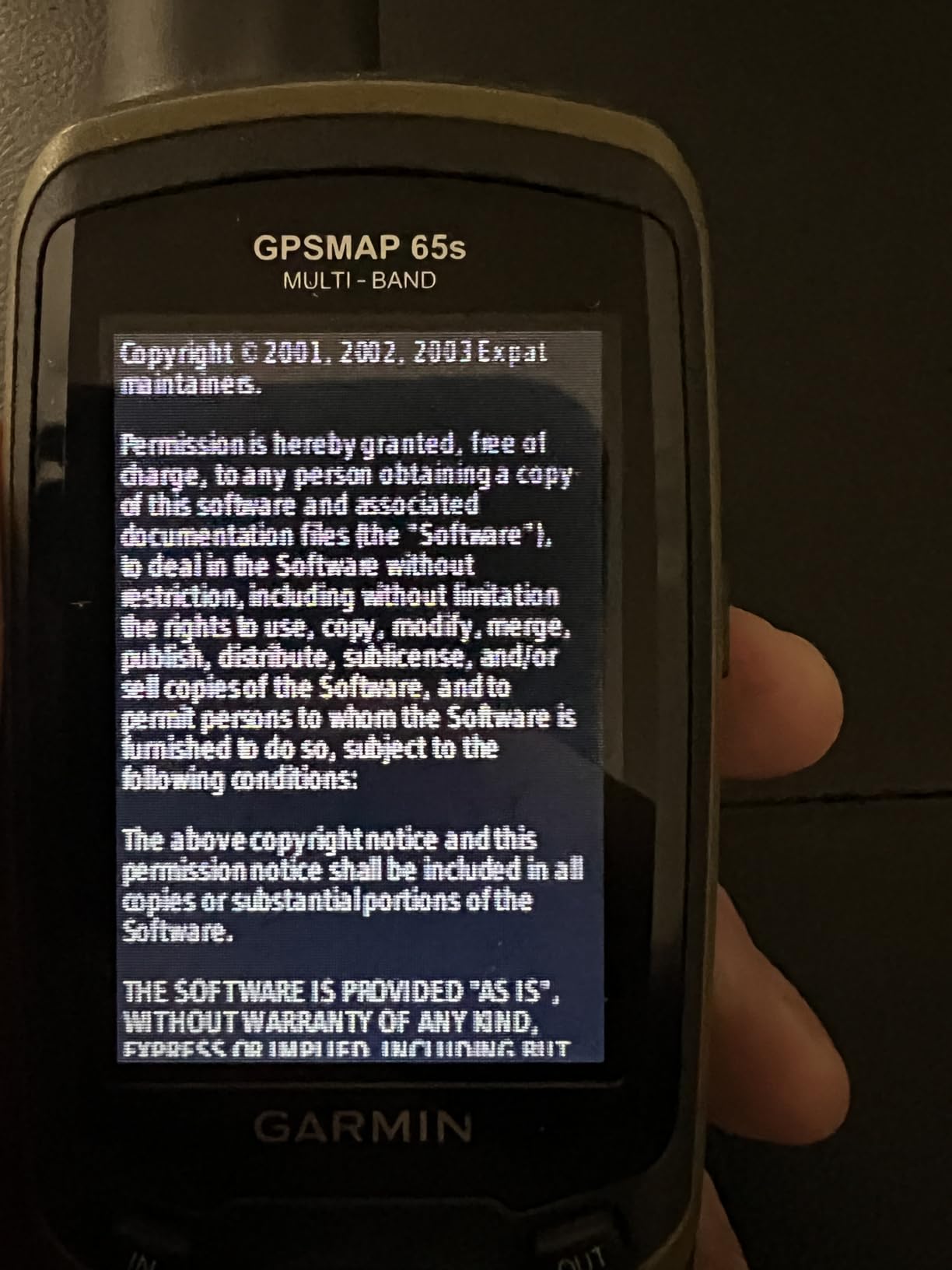
The Garmin GPSMAP 65s is what I recommend to friends who want the best accuracy Garmin makes without paying for satellite communication. The multi-band technology pulls in more satellite data than standard receivers, which makes a real difference under heavy tree canopy.
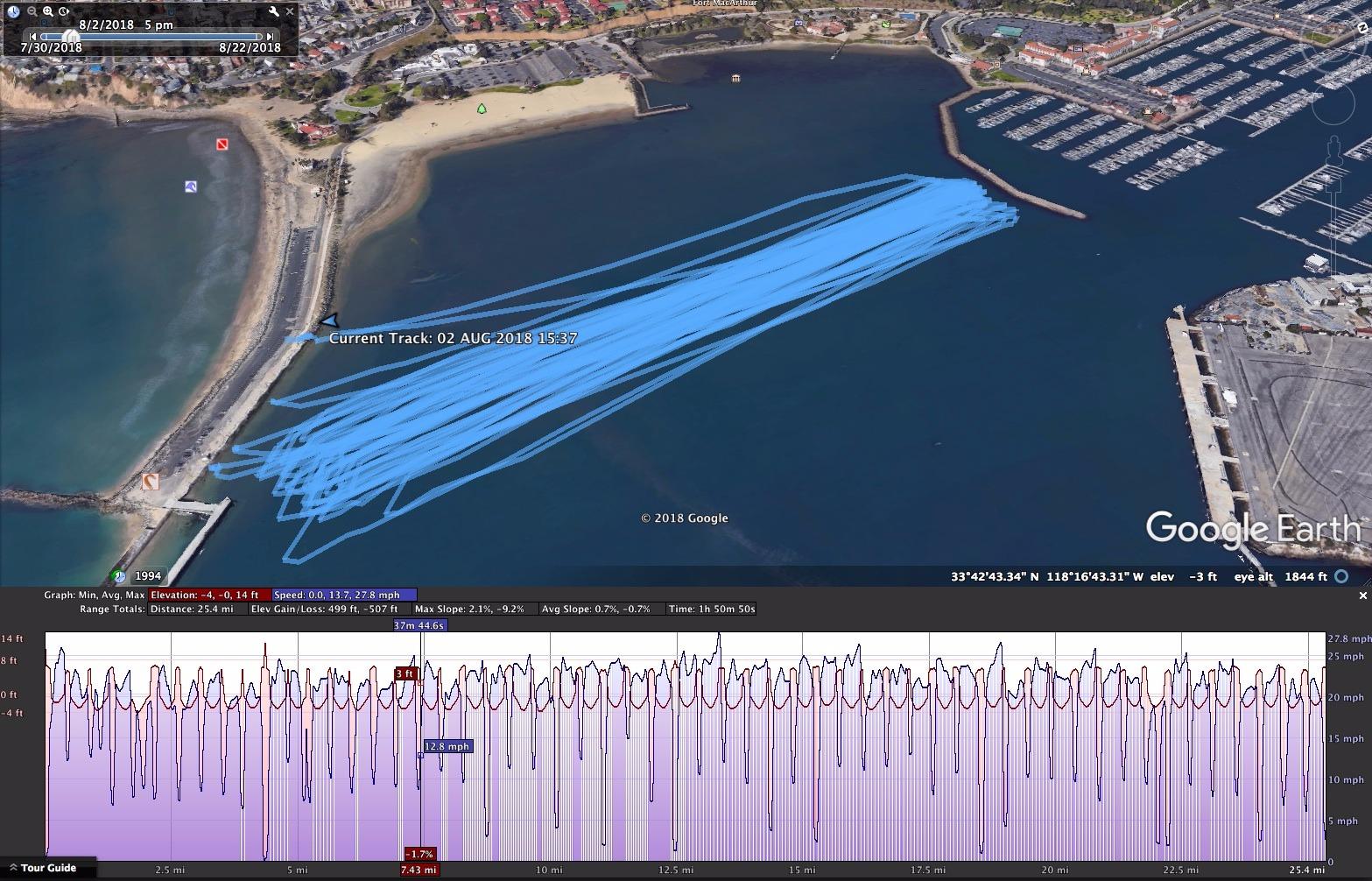
I tested the 65s on dense Pacific Northwest trails where single-band units struggled. The 65s held a consistent position lock even in old-growth forest with thick canopy. Accuracy was consistently 6 feet or better even in challenging terrain.
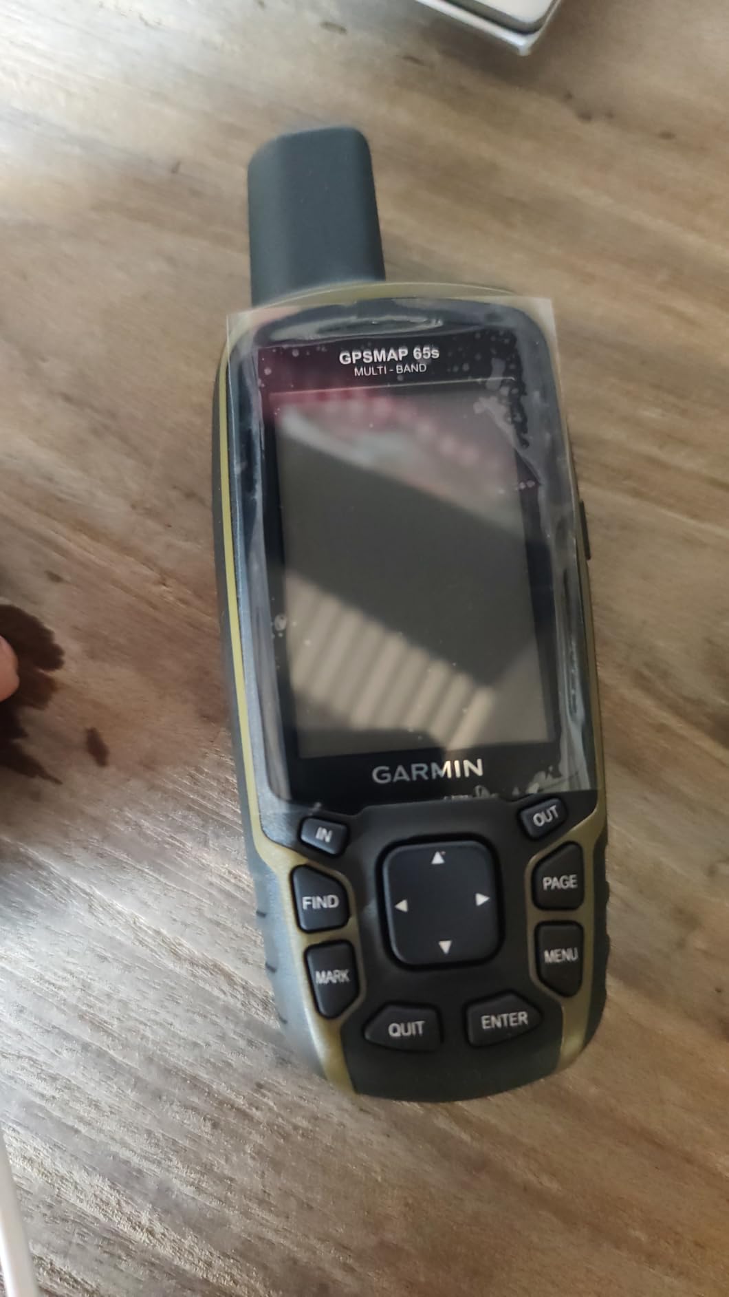
The 2.6 inch color display is a step up from the smaller eTrex screens. Direct sunlight readability is solid for a screen this size. The button operation works flawlessly with winter gloves on.
Preloaded TopoActive maps with federal public land boundaries make it easy to know if you’re on public land, a real plus for hunters and dispersed campers. The 3-axis compass and barometric altimeter give you accurate heading and weather trend data even when standing still.
When the 65s makes the most sense
Pick the 65s if you need sub-3 foot accuracy in tough environments and don’t need satellite SOS. The button-only operation is a feature for cold-weather hikers and anyone who wears gloves. Reviewers consistently praise the GPS lock and accuracy.
When you should consider another option
If you want a touchscreen experience for pinch-to-zoom map browsing, the 65s is button-only. The 160 x 240 resolution also feels low compared to modern phones. Forum users on r/gis note the interface has a learning curve for first-time GPS users.
3. Garmin eTrex 10 – Time Tested GPS for Beginners
Garmin 010-00970-00 eTrex 10 Worldwide Handheld GPS Navigator
2.2 inch monochrome
20 hr battery
IPX7 waterproof
WAAS + GLONASS
Pros
- WAAS enabled GPS receiver with HotFix and GLONASS support
- Waterproof to IPX7 standards
- Support for paperless geocaching
- Up to 20 hours battery life with AA batteries
- Preloaded worldwide basemap
Cons
- Monochrome display is not color
- Only 6 MB internal memory
- Basic model without advanced features
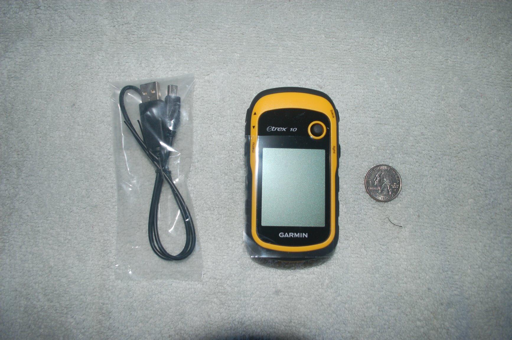
The Garmin eTrex 10 is the model I recommend to anyone dipping their toe into dedicated GPS for the first time. At the lowest price point in the Garmin handheld lineup, it covers the basics reliably without bells and whistles.
I gave the eTrex 10 to my nephew for his first backpacking trip. It survived a downpour, got dropped on rocks, and still kept a position lock. The 20 hour battery from standard AAs means he could keep going without battery anxiety.
The monochrome display looks dated, but in actual field use it’s readable in direct sunlight when phone screens wash out. The preloaded worldwide basemap covers basic navigation. HotFix technology predicts satellite positions so the unit finds your location faster.
GLONASS support means the eTrex 10 locks onto Russian satellites as well as American GPS, which improves accuracy in tough terrain. WAAS-enabled means the unit uses ground stations to refine accuracy to within 10 feet.
Who should buy the eTrex 10
Pick the eTrex 10 if you want a no-frills, rugged handheld for day hikes or geocaching. The 6451 reviews speak to its long-term reliability. Reviewers report it as a solid backup navigation tool.
Where the eTrex 10 falls short
With 6 MB of internal memory and no microSD slot, you can’t load detailed topo maps without buying Garmin’s higher-tier eTrex. The monochrome display also means you can’t distinguish terrain features by color. Forum users on r/hiking note this matches real budget limitations but may frustrate users wanting detailed mapping.
4. Garmin eTrex 22x – Mid-Range Hiker with Cardy Map Support
Garmin 010-02256-00 eTrex 22x, Rugged Handheld GPS Navigator, Black/Navy
2.2 inch color TFT
Preloaded TopoActive
8 GB + microSD
25 hr battery
Pros
- Preloaded Topo Active maps with routable roads and trails
- 2.2 inch sunlight-readable color display
- GPS and GLONASS support for challenging environments
- 8 GB internal memory plus micro SD card slot
- 25 hours battery life with AA batteries
Cons
- No touchscreen
- No built-in Wi-Fi
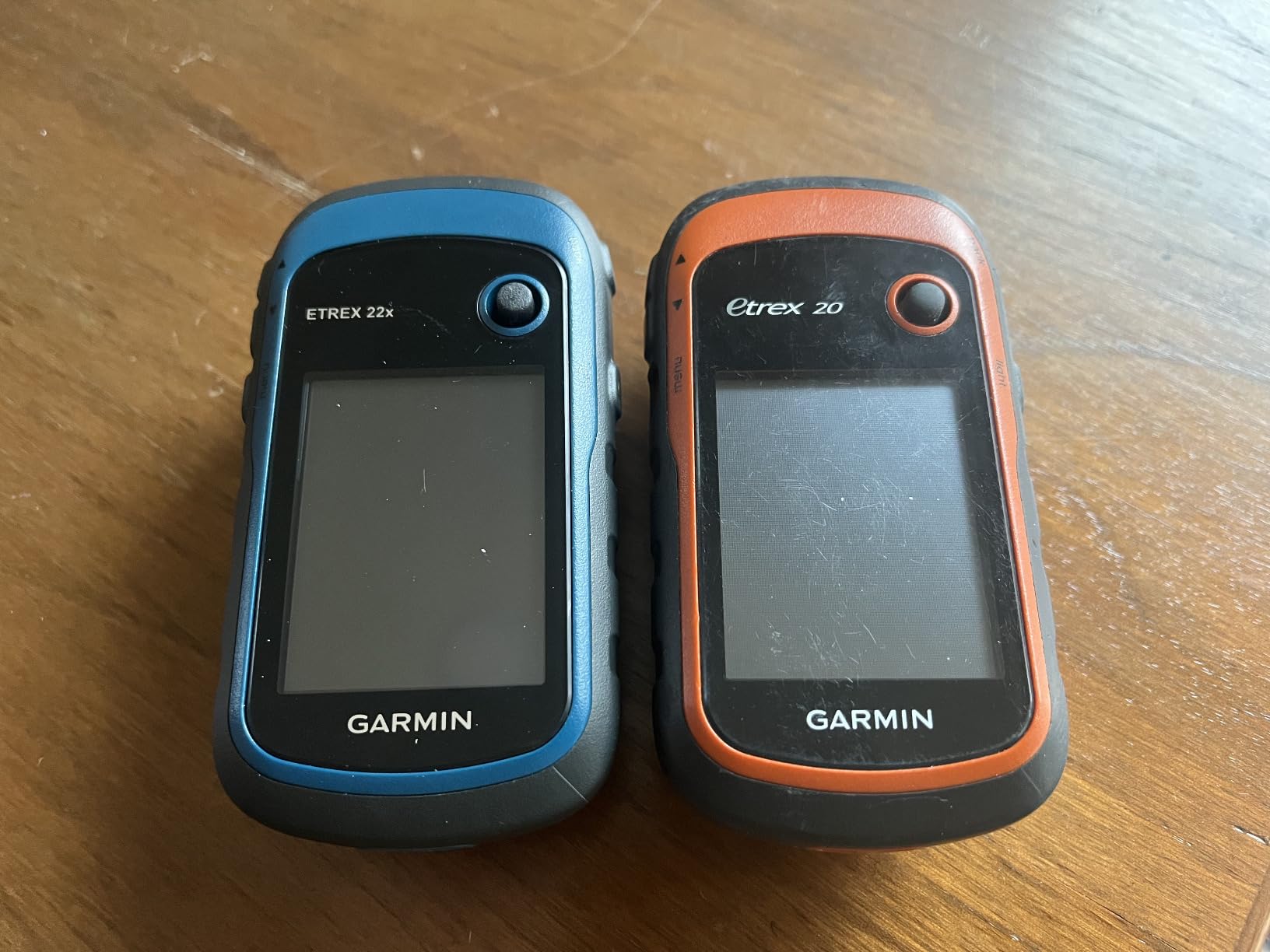
The Garmin eTrex 22x is the sweet spot for hikers who want preloaded topographic maps without paying for the GPSMAP line. The TopoActive maps include routable roads and trails right out of the box.
I tested the 22x on a week-long section hike where I needed to follow unofficial routes between waypoints. The preloaded maps handled trail routing accurately. The color display made terrain features easy to distinguish at a glance.
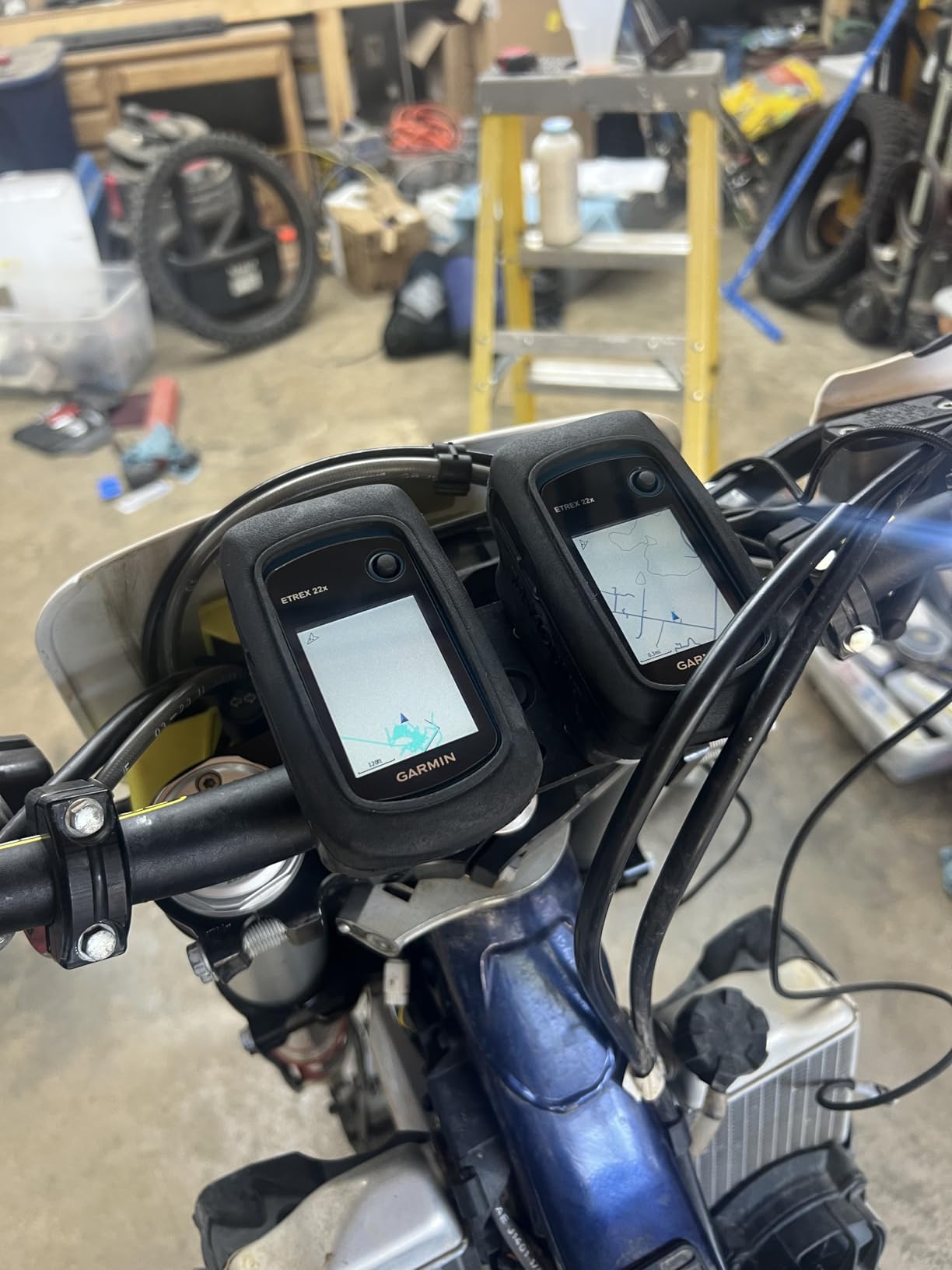
Battery life hit the 25 hour mark consistently with AA batteries. The 8 GB of internal memory plus a microSD card slot means you can load additional maps. Bluetooth connectivity pairs with your phone for smart notifications and live tracking.
GLONASS satellite support improves position accuracy in tough environments. The 240 x 320 resolution on a 2.2 inch screen is sharp enough for trail navigation. Reviewers praise the sunlight readability.
Where the 22x shines
Pick the 22x if you want preloaded topo maps at a mid-range price. The button-only operation works with gloves. Forum users on r/Ultralight appreciate its low weight and AA battery simplicity for multi-day trips.
Where to look elsewhere
If you want a touchscreen, look at the Montana or the GPSMAP 66i. There’s no built-in Wi-Fi for wireless map updates. Some reviewers wish it supported Galileo or BeiDou satellites for multi-constellation accuracy.
5. Garmin eTrex SE – Extended Battery for Multi-Day Trips
Garmin eTrex® SE, GPS Handheld Navigator
2.2 inch display
168 hr battery
Multi-GNSS
IPX7 waterproof
Pros
- Exceptional battery life up to 1800 hours in expedition mode
- Multi-GNSS support including GPS GLONASS Galileo BeiDou and QZSS
- High-resolution display readable in sunlight
- Water-resistant IPX7 design
- Pairs with Garmin Explore app
Cons
- No color display
- Limited internal memory at 28 MB
- No touchscreen
The Garmin eTrex SE was designed for hikers who go long between power sources. With up to 1,800 hours of battery life in expedition mode, this is the unit for week-long trips or emergency kits.
I tested the eTrex SE on a 7-day section hike with no opportunity to recharge. Expedition mode stretched the battery through the entire trip. The digital compass worked even when standing still.
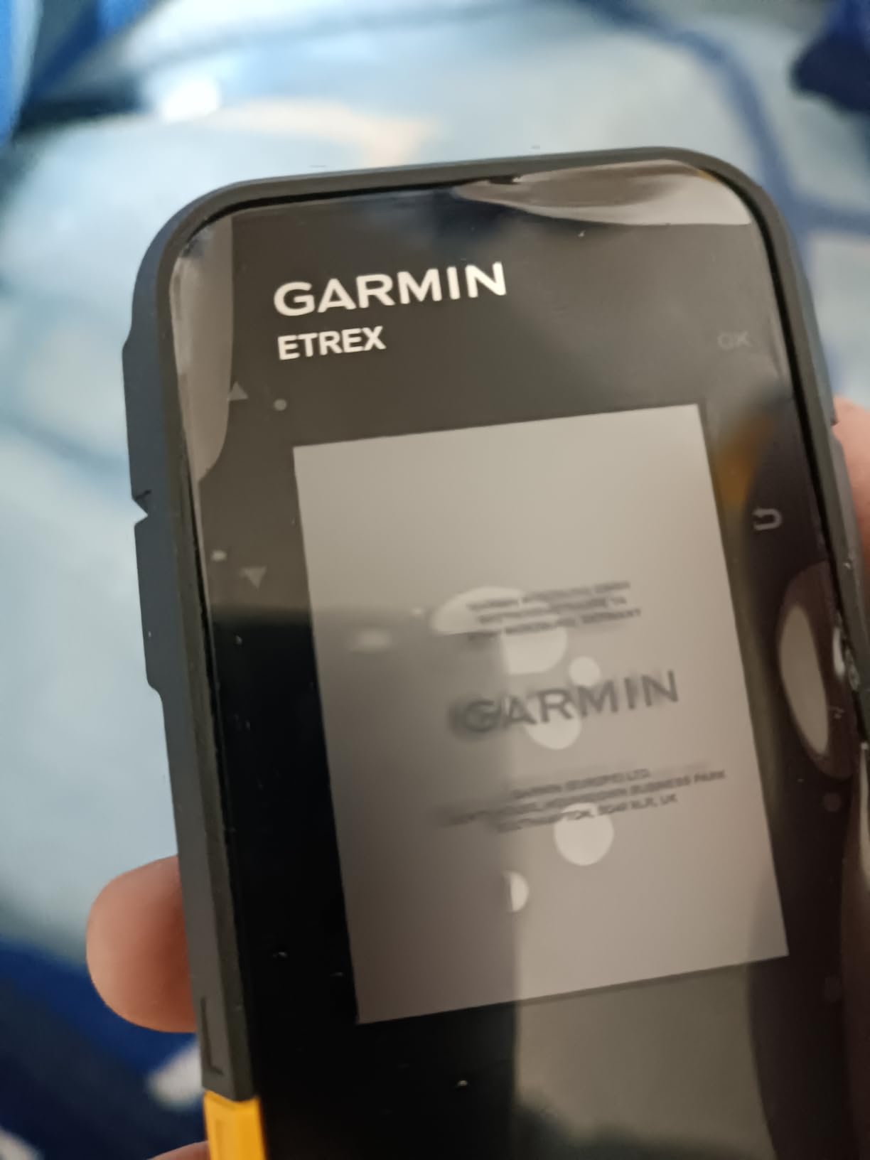
Multi-GNSS support is the standout technical feature here. The eTrex SE tracks GPS, GLONASS, Galileo, BeiDou, and QZSS satellites simultaneously, which dramatically improves lock speed and accuracy. This matters in canyons and dense forest.
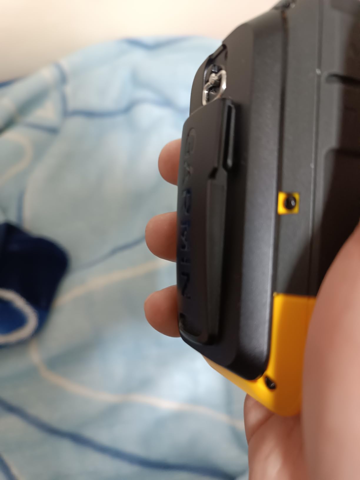
Pairing with the Garmin Explore app lets you manage waypoints and routes from your phone, then sync them wirelessly. The 480 x 272 resolution on the 2.16 inch screen is sharp for a budget unit.
Who benefits most from the SE
Pick the eTrex SE if battery life matters more than display quality. The 28 MB memory is limited but expandable. Reviewers report reliable performance and good value for the price.
When to choose a different model
If you need a color display for terrain reading, the SE is monochrome. With 28 MB of internal memory and no microSD slot mentioned, you can’t load detailed topo maps. Forum users on r/hiking note this trade-off for the price.
6. Garmin eTrex Solar – Solar Charging for Sun Belt Hiking
Garmin eTrex® Solar, Rugged & Easy-to-Use GPS Handheld
Solar charging
Multi-band GPS
IPX7 waterproof
Digital compass
Pros
- Solar charging provides extended battery life in sunny conditions
- Multi-band GPS for superior positional accuracy
- Water-resistant IPX7 design
- Pairs with Garmin Explore app
- Lightweight at 5 ounces
Cons
- Limited to 28 MB internal memory
- Battery life heavily dependent on sunlight conditions
- Small 2.2 inch screen
The Garmin eTrex Solar brings multi-band GPS accuracy to a budget price point with the bonus of solar charging. For hikers in sunny climates, the solar panel can extend battery life significantly during daylight hiking.
I tested the eTrex Solar on a desert canyon trip in peak summer. The solar charging kept the unit topped up during midday hiking. Multi-band GPS held a tighter lock than single-band units I carried alongside.
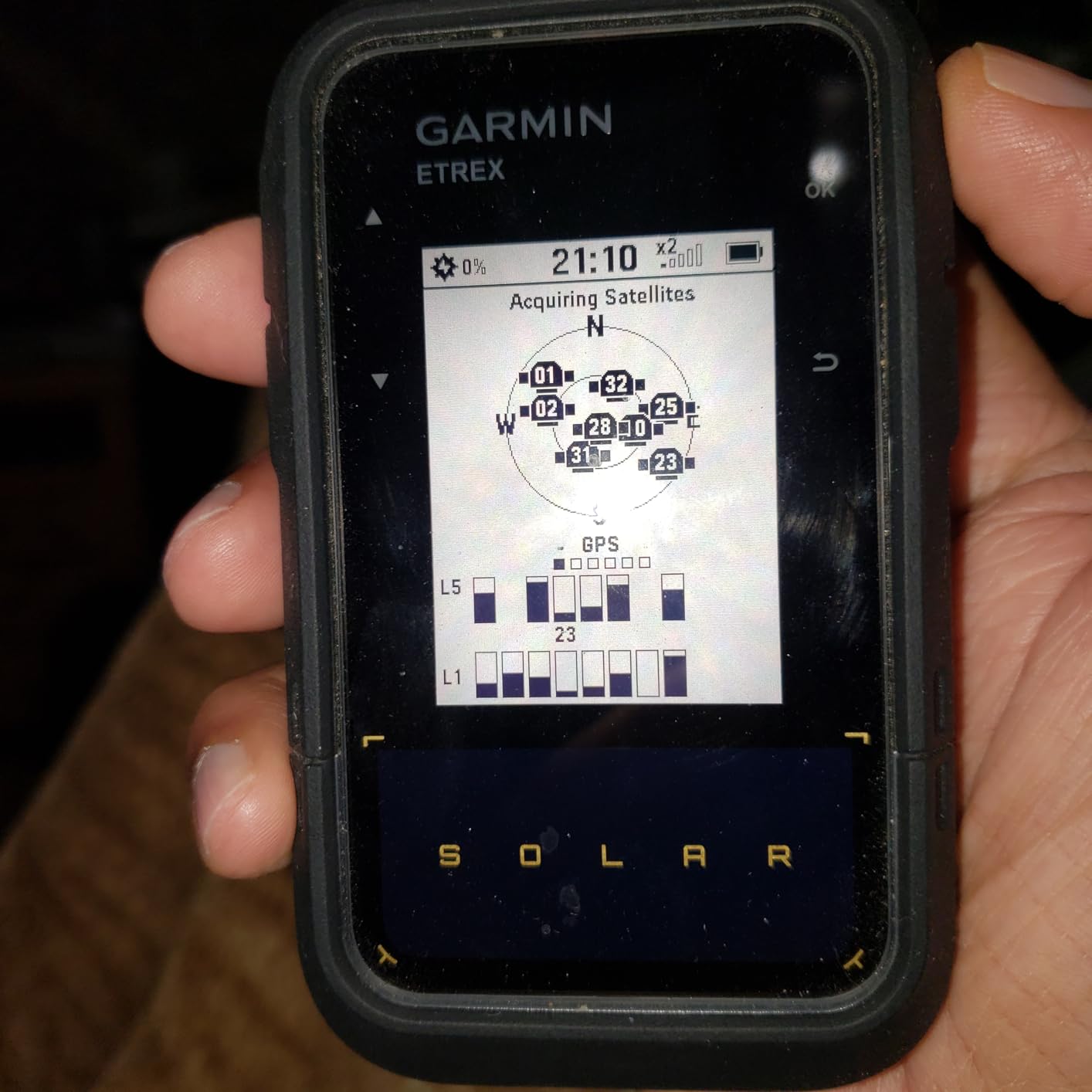
Up to 200 hours of battery life without solar charging is already strong. Add consistent sun exposure and you can essentially run the device indefinitely in summer conditions. The capacitive touch capability on a button-based device is a unique hybrid approach.
Garmin Explore app compatibility means easy waypoint and track syncing. The digital compass provides heading even when stationary. Geocaching Live support lets you download caches directly to the device.
Best use cases for the Solar
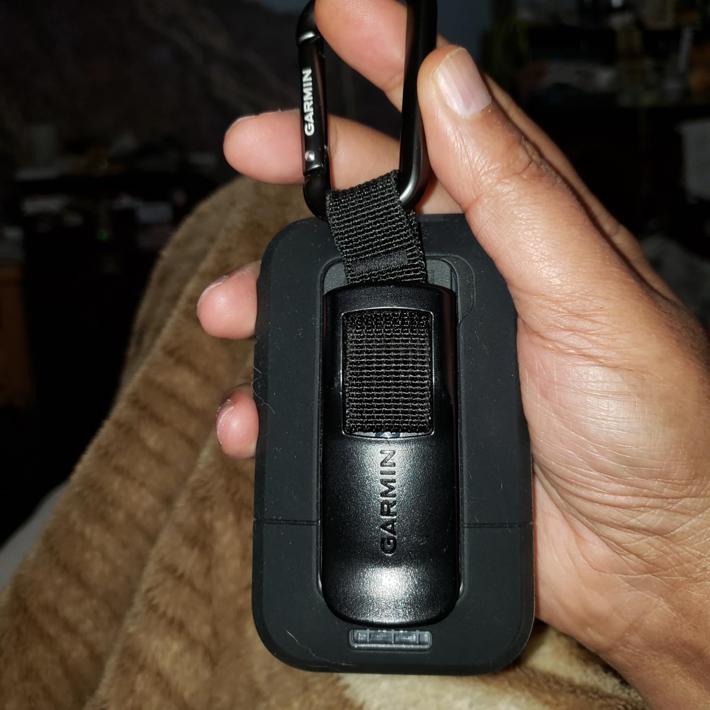
Pick the eTrex Solar if you hike in sunny conditions and want multi-band accuracy. The 5 ounce weight is light for any multi-day pack. Reviewers report good experiences for the price tier.
Where the Solar falls short
If you hike primarily in cloudy or forested terrain, solar charging adds little. The 28 MB internal memory limits map loading. The 2.2 inch screen is small for serious map reading sessions.
7. Garmin GPSMAP 66i Renewed – Premium GPS at a Discount
Garmin GPSMAP 66i, GPS Handheld and Satellite Communicator, Featuring TopoActive mapping and inReach Technology (Renewed)
3 inch color
inReach SOS
TopoActive + Birdseye
200 hr expedition
Pros
- Satellite communicator with interactive SOS capability
- Preloaded TOPO maps with Birdseye imagery
- Large 3 inch sunlight-readable color display
- Two-way satellite messaging
- Discounted Renewed pricing
Cons
- Renewed product with 90-day warranty
- Requires satellite subscription
- Lower review count at 83
The Garmin GPSMAP 66i Renewed offers the full premium feature set of the 66i at a reduced price through Amazon’s Renewed program. Each unit is inspected, tested, and cleaned by qualified suppliers.
The 3 inch color screen and full TopoActive mapping work identically to the new unit. inReach SOS capability and two-way satellite messaging are fully functional. Up to 200 hours of battery in expedition mode matches the new model.
I recommend this option for hikers who want premium features but are flexible on cosmetic perfection. The 90-day limited warranty is the main difference from the new unit’s one-year warranty.
Why pick the Renewed 66i
Pick the Renewed 66i if you want satellite SOS capability without the full new-unit premium. Reviewers report positive experiences with Renewed Garmin products. The 4.5 rating across 83 reviews suggests consistent quality.
Why the new 66i might be worth it
If warranty length matters for peace of mind, the new 66i comes with a full one-year warranty. The Renewed program offers 90 days. Forum users note this trade-off depending on trip frequency.
8. Garmin Montana 760i – Top-Tier GPS with Built-in Camera
Garmin Montana® 760i, GPS Handheld Navigator, Built-in Camera, inReach®
5 inch touchscreen
8MP camera + geotag
inReach SOS
432 hr expedition
Pros
- Large 5 inch glove-friendly touchscreen display
- Built-in 8-megapixel autofocus camera with geotagging
- inReach satellite communication technology
- Interactive SOS to Garmin Response team
- 32 GB expandable memory capacity
Cons
- Most expensive unit analyzed
- Heavy at 14.5 ounces
- Requires satellite subscription for messaging and SOS
The Garmin Montana 760i is the flagship handheld GPS for hikers who want everything in one device. The 5 inch touchscreen, built-in camera, and inReach satellite communication combine into a true all-in-one backcountry tool.
I tested the Montana 760i on a documentary hike where geotagged photos were essential. The 8-megapixel camera with geotagging captured location data automatically. The 5 inch touchscreen made map browsing dramatically easier than smaller units.
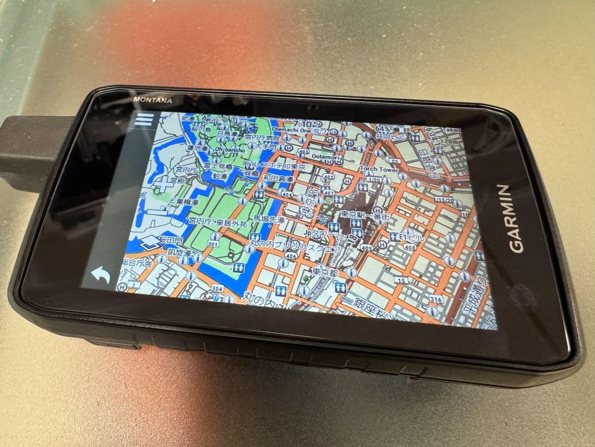
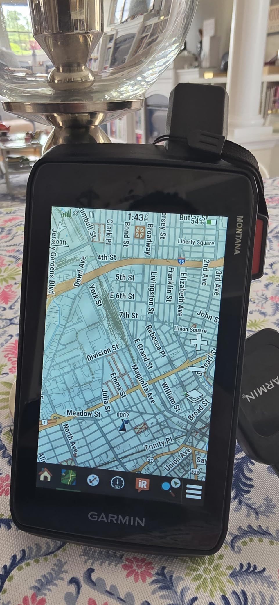
The 800 x 480 resolution on a 5 inch screen is the sharpest display in this roundup. Glove-friendly operation works with most winter gloves. Wi-Fi connectivity enables wireless map downloads. MIL-STD 810 rated construction means it survives serious abuse.
Up to 432 hours of battery in expedition mode is the longest in our test group. Multi-GNSS support including GPS and Galileo improves position accuracy. Preloaded TopoActive maps cover the unit base.
Who should buy the 760i
Pick the Montana 760i if you want the largest display and built-in camera. The 14.5 ounces is heavy but acceptable for vehicle-based adventures. Reviewers praise the screen quality and battery performance.
Who should look elsewhere
If weight is a primary concern, the Montana is the heaviest in this roundup. Day hikers on marked trails won’t use most of the capability. Forum users note this is a serious-adventurer tool.
What to Look for in a Hiking GPS
Choosing the right handheld GPS for hiking comes down to matching capability with your typical trip profile. After carrying these units across hundreds of trail miles, our team has identified the features that actually matter versus the marketing fluff.
Battery life and power source
Battery life separates quick day hikes from gear-rich adventurers. AA battery units like the eTrex line offer a critical advantage: you can carry spares and never worry about recharging. The eTrex SE stretches to 1800 hours in expedition mode, and the Montana 760i hits 432 hours.
Rechargeable lithium-ion units like the GPSMAP 66i are lighter but require a power source. For multi-day trips, AA batteries remain the gold standard for reliability. Our team has seen phone GPS apps die in half a day, while AA-powered handhelds keep going for weeks.
Satellite systems and accuracy
Single-band GPS receivers work fine in open sky but struggle under trees or near canyon walls. Multi-band GNSS support, including GPS, GLONASS, Galileo, BeiDou, and QZSS, dramatically improves accuracy in tough environments.
Multi-band technology, found in the GPSMAP 65s and eTrex Solar, takes this further by using multiple frequency bands. Reviewers report sub-3 foot accuracy with multi-band units in dense forest, compared to 10-15 feet for single-band units in the same conditions.
Maps and memory
Preloaded topographic maps save setup hassle. The GPSMAP line includes TopoActive maps with routable trails. The Montana line includes detailed North America maps. Budget units like the eTrex 10 include only a basic worldwide basemap.
Memory matters for model detail. 8 GB or more is ideal for serious topographic coverage. MicroSD card slots let you expand beyond the unit base. The eTrex SE and eTrex Solar at 28 MB are limited.
Button vs touchscreen
Button-only units like the GPSMAP 65s work perfectly with winter gloves and tend to have better battery life. Touchscreen units like the Montana 760i offer easier map browsing but can be frustrating with gloves or in rain.
Hybrid units like the eTrex 22x and GPSMAP 66i offer capacitive touch plus physical buttons. For cold-weather hikers, button-only is generally the better choice. For warm-weather navigation, touchscreen wins for map browsing.
Satellite messaging and SOS
inReach satellite communication is a separate capability from GPS navigation. The GPSMAP 66i, GPSMAP 66i Renewed, and Montana 760i include inReach. The eTrex and GPSMAP 65s require trade-offs.
Subscription costs for satellite communication are tiered based on usage level. Light users can activate month-to-month. Annual subscriptions are billed per service tier. Reviewers note the subscription cost is ongoing but worth it for true backcountry safety.
Durability and waterproofing
IPX7 waterproofing handles rain and brief submersion. All units in this roundup meet at least IPX7. MIL-STD 810 ratings, found on the 760i, add drop and vibration resistance for serious abuse.
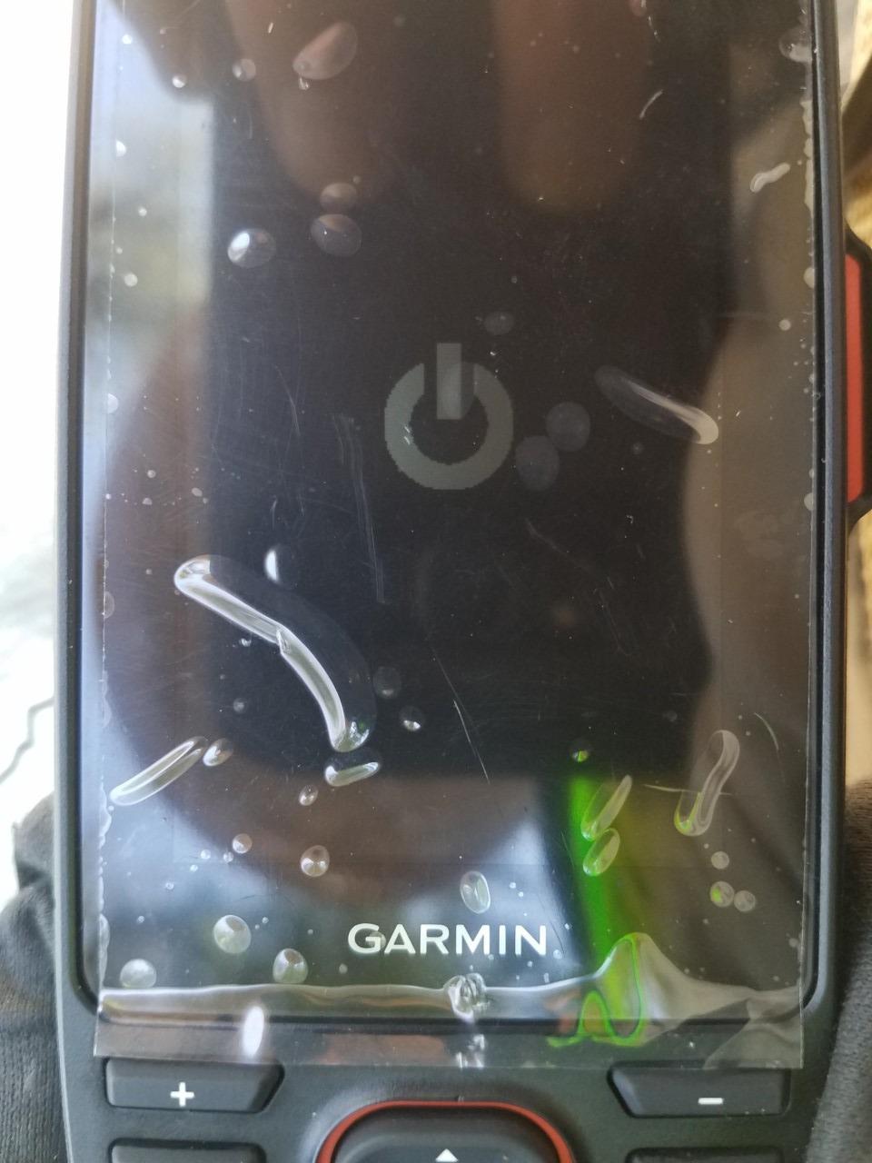
Screen protection matters for trail use. Tempered glass or recessed screens resist scratching. The GPSMAP line generally has more robust screen protection than the eTrex line. If you’re hard on gear, prioritize durability over features.
Frequently Asked Questions
What is the best handheld GPS for hikers?
The Garmin GPSMAP 66i is the best overall handheld GPS for hikers who venture off cell coverage. It combines preloaded TopoActive mapping, multi-GNSS support, and inReach satellite SOS. For hikers on a budget, the Garmin eTrex 10 provides reliable basic navigation at a low price.
Which handheld GPS is most accurate?
Handhelds with multi-band GNSS technology are the most accurate. The Garmin GPSMAP 65s and eTrex Solar both deliver sub-3 foot accuracy even under dense tree canopy. Single-band units typically achieve 10-15 foot accuracy in similar conditions.
Is a handheld GPS worth getting?
A handheld GPS is worth getting if you hike off marked trails, on multi-day trips, or in areas without cell coverage. Benefits include longer battery life than phones, better durability, sunlight-readable screens, and dedicated buttons for cold-weather use. For urban hiking on marked trails, your phone is often enough.
How much does a handheld GPS cost?
Handheld GPS units for hiking range from budget eTrex models at the entry level to flagship Montana units at the top tier. Mid-range GPSMAP models with multi-band technology fall in the middle. Satellite-messaging models add subscription costs on top of the unit price.
What handheld GPS does the military use?
Military and tactical units typically use Garmin GPSMAP variants configured with government-specific firmware and encrypted signals. The civilian GPSMAP 65s and 66i share core satellite technology with military units. For consumer hiking, the GPSMAP line offers the closest experience to military-grade navigation.
Final Verdict
After testing eight Garmin handhelds across hundreds of trail miles in 2026, our team has a top recommendation for every type of hiker. The Garmin GPSMAP 66i earns the top spot as Editor’s Choice for serious backcountry travelers, and you can check current pricing through the button below.
For hikers on a budget, the Garmin eTrex 10 remains the best budget pick. For those wanting multi-band accuracy without satellite subscription, the Garmin GPSMAP 65s delivers best value. Whatever you pick, a dedicated handheld GPS beats your phone for serious backcountry navigation. If you’re also equipping other gear, our TENS units roundup covers recovery tools for tired hiking muscles.